Home » View more maps » 2009 Criterium Dauphine Libere
2009 Criterium Dauphine Libere - June 7-14, 2009
|
Dauphine Libere Prologue Stage 1 - Nancy (ITT) Stage winner: Cadel Evans (AUS), Silence-Lotto, 12.1km in 15:36:64 (46.538km/h) Sunday, June 7, 2009 |
|
") Print/Download |
") Dauphine Libere Prologue Stage 1- Nancy (3d) |
|
Dauphine Libere Stage 2 - Nancy to Dijon Stage winner: Angelo Furlan (ITA), Lampre-N.G.C. in 5:35:04 (41.72km/h) Monday, June 8, 2009 |
|
 Print/Download |
 Dauphine Libere Stage 2 - Nancy to Dijon (3d) |
|
Dauphine Libere Stage 3 - Tournus to Saint Etienne Stage winner: Niki Terpstra (Ned) Team Milram in 4:32:34 (40.06km/h) Tuesday, June 9, 2009 |
|
 Print/Download |
 Dauphine Libere Stage 3 - Tournus to Saint Etienne (3d) |
|
Dauphine Libere Stage 4 - Bourg Les Valence ITT Stage winner: Bert Grabsch (Ger) Team Columbia - High Road in 0:51:26 (49.46km/h) Wednesday, June 10, 2009 |
|
 Print/Download |
 Dauphine Libere Stage 4 - Bourg Les Valence ITT (3d) |
|
Dauphine Libere Stage 5 - Valence to Mont-Ventoux Stage winner: Sylvester Szmyd (Pol) Liquigas in 4:05:04 (37.70km/h) Thursday, June 11, 2009 |
|
 Print/Download |
 Dauphine Libere Stage 5 - Valence to Mont-Ventoux (3d) |
|
Dauphine Libere Stage 6 - Gap to Briancon Stage winner: Pierrick Fedrigo (Fra) BBox Bouygues Telecom in 2:48:17 (38.69km/h) Friday, June 12, 2009 |
|
 Print/Download |
 Dauphine Libere Stage 6 - Gap to Briancon (3d) |
|
Dauphine Libere Stage 7 - Briancon to Saint Francois Longchamp Stage winner: David Moncoutié (Fra) Cofidis, Le Credit en Ligne in 4:44:26 (33.12km/h) Saturday, June 13, 2009 |
|
 Print/Download |
 Dauphine Libere Stage 7 - Briancon to Saint Francois Longchamp (3d) |
|
Dauphine Libere Stage 8 - Faverges to Grenoble Stage winner: Stef Clement (NED) Rabobank, 146km in 3:30:17 (41.658 km/h) Sunday, June 14, 2009 |
|
 Print/Download |
 Dauphine Libere Stage 8 - Faverges to Grenoble (3d) |
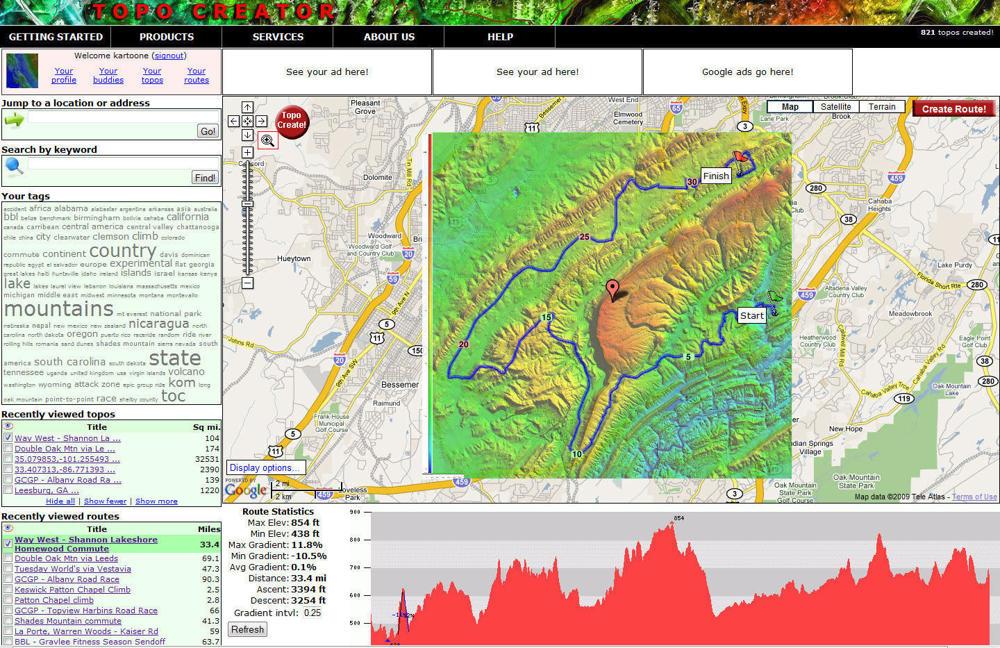
The beta version of topocreator.com is coming soon. Click the screenshot below for a preview!
TERMS OF USE
All maps on this page have been created using the beta version of topocreator.com which is not available to the public yet. The tentative release date for the beta version of topocreator.com is August 2009. The elevation data used in the creation of these maps has been obtained through a variety of sources - the USGS, NOAA, NASA, and CIGAR. Vector street data has been licensed via Creative Commons Share-Alike through the OpenStreetMap project. All maps on this page are © topocreator.com and likewise released under the Creative Commons Share-Alike license.